Helping professional and amateur fishermen enhancing the fishing experience
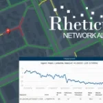
Continuous monitoring of water and sewer pipeline stability
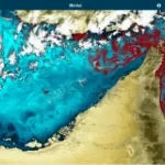
Automatic cloud-based geo-information service for continuous monitoring of coastal seawater quality and marine resources.
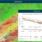
Automatic cloud-based monitoring for infrastructures and buildings
Kadmos is a suite of services that enables the combined and synergistic use of data from various missions
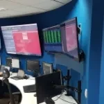
The software solution for satellite test, monitoring and control.
Image visualization and processing tool for EO and scientific data
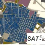
Cognitive Framework for Urban Planning and monitoring of Strategic Environmental Assessment (SEA).
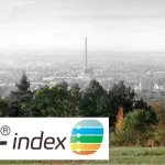
Geospatial Indexes for Territorial Planning and Strategic Environmental Assessment. Monitoring of soil loss.
FPGA or SW solution for on-board hi-performance hyperspectral data compression and cloud classification